
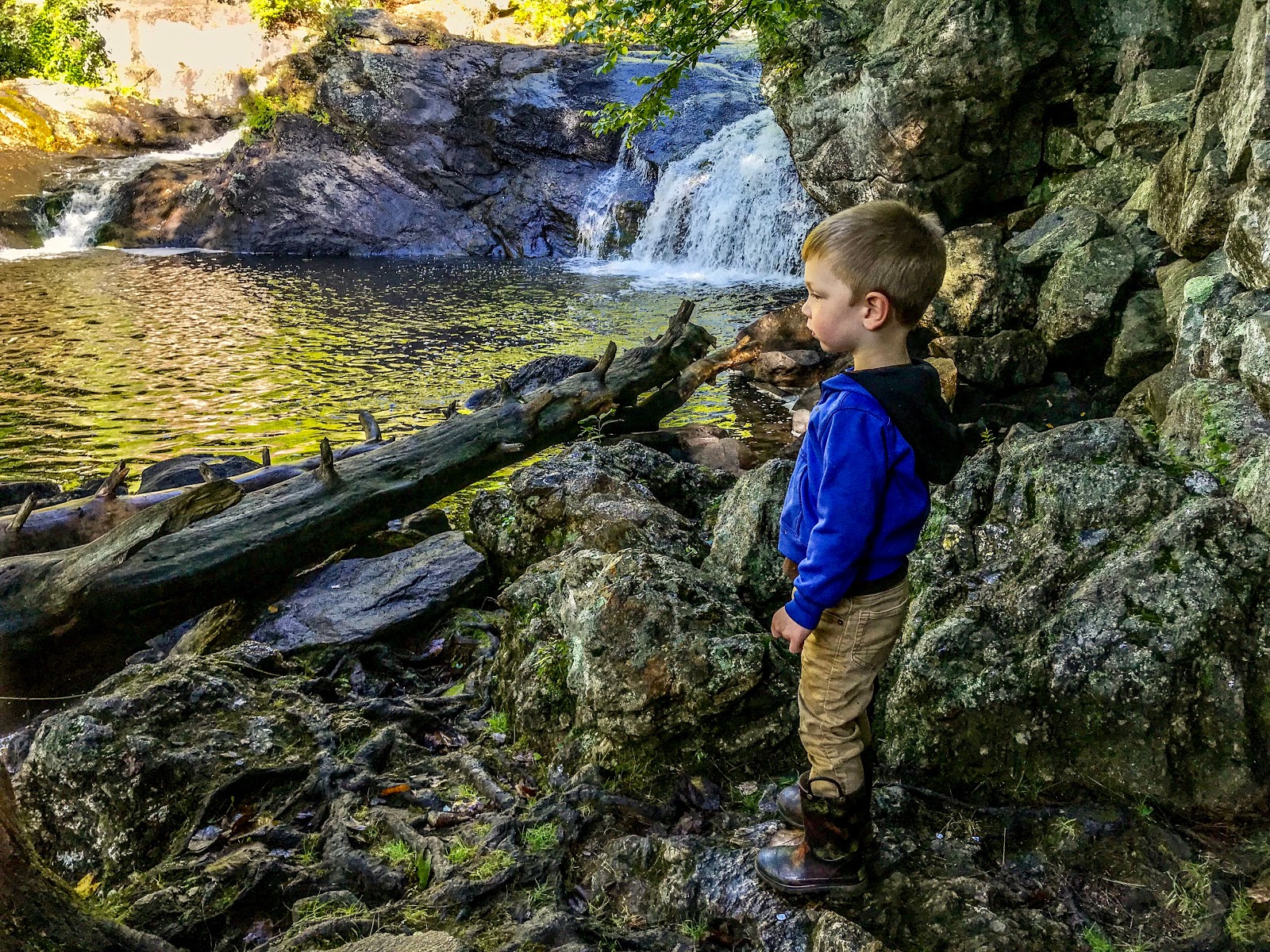
 |
| Waterfall views on the Gonic Trail. |
Here's how to recreate this adventure:
Adventure: WM Gonic Trails in Summer/Fall
Getting there: The main parking lot for this trail is located on Rochester Neck Road. Take Rt 125 to Rochester Neck Road (across from 1st City Motors Auto Dealer). The parking lot is located on the right about 0.7 miles down Rochester Neck Rd. Park in the gravel lot. There is a sign in the parking lot that says WM Trails. Parking is free but there are no restrooms.
 |
| Trail Sign in parking lot (with map) |
After enjoying the waterfall, continue on the yellow trail (trail markers on trees). It will wander up and down with small elevation changes until it drops back to the river and it meets the Red Trail. Here I continue with the river on my right until I get the second offshoot of the red trail. If you continue straight here on yellow, you will go multiple miles more to a different parking lot. There is a sign present which warns that the red to the left is the last option to loop back.
Take Red up a steep incline. After about 20 feet, the trail levels off again and you will enjoy an easy walk back to the parking lot through hardwood forest.
 |
| Trail Map available here. |
Distance: The yellow to red loop is about 1.5 miles.
 |
| Yellow Trail |
Recommendations/Additional Information
- There usually is ample (free) parking in the dirt lot. At times it can get crowded on hot summer days.
- Leashed dogs are allowed. Be prepared to see them on trail.
- There are no bathrooms available at the trailhead.
- For an even longer hike (or different approach), hike the out and back yellow trail. You can also access this trail further down the Rochester Neck Road on the right. It's labeled Isinglass River Park.
 |
| Yellow/Red Trail right before taking red back toward parking lot. |
I've hiked this trail in every season and really enjoy all that it offers in such a reasonable loop. It's one of the many short, yet beautiful scenic hikes in Seacoast New Hampshire.
 |
| Isinglass River in September |
For similar experiences, check out:
- Winnie the Pooh Hike in Barrington, NH
- Hanson Pines in Rochester, NH
- Pickering Ponds in Rochester, NH